This text was obtained via automated optical character recognition.
It has not been edited and may therefore contain several errors.
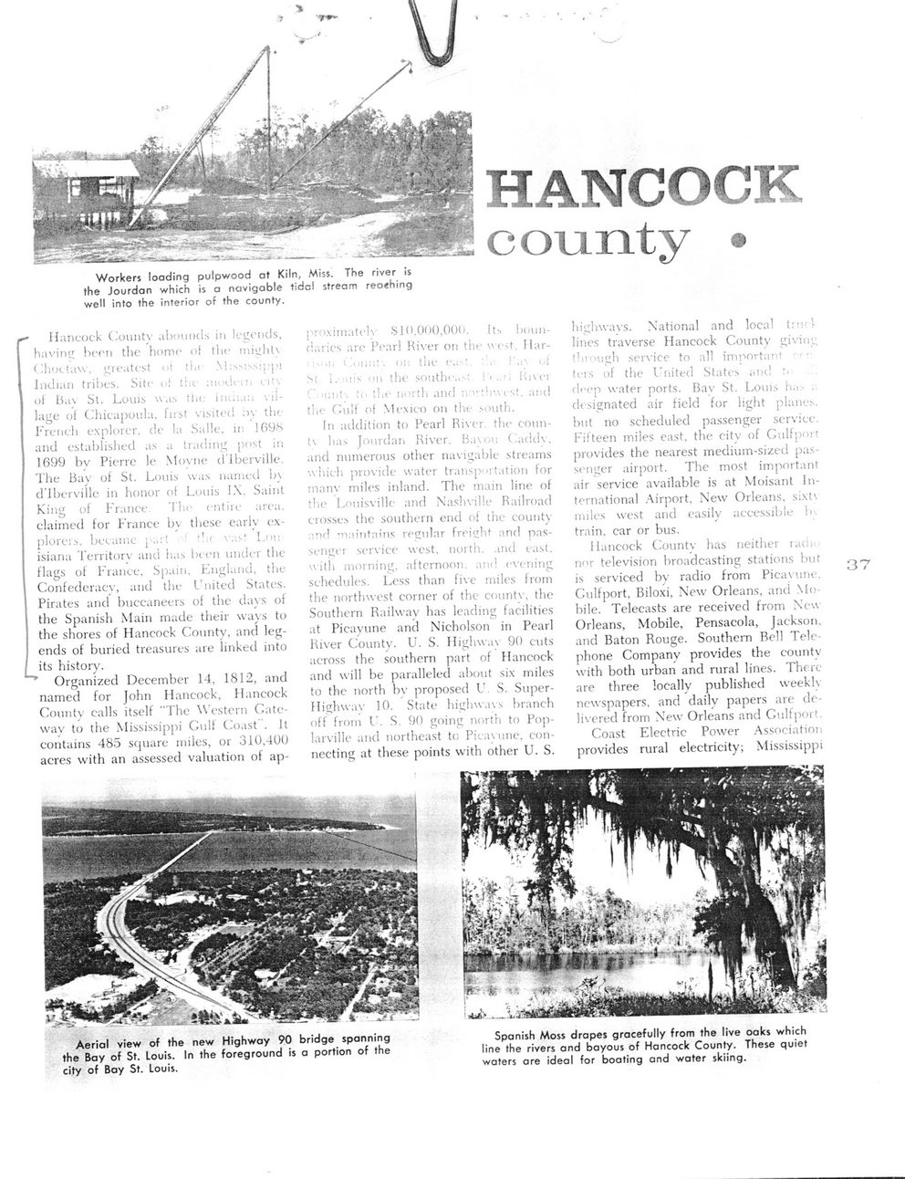
Workers loading pulpwood at Kiln, Miss. The river is the Jourdan which is a navigable tidal stream reaching well into the interior of the county.
r* Hancock Countv abounds in legends, having hern the home of the mii_'ht\ Choctaw, greatest ot !i,<	pi
Indian tribes. Site of the ;*n>«.!«•<*» 1 i1'-of Iiu\ St. Louis was tl.i; i;n.:an village of Chicapoula. first visited :>v the French explorer, de la Salle. 11: 169S and established as .1 trading post in 1699 by Pierre le Moyne dlberville. The Bay of St. Louis was named b\ d’Iberville in honor of Louis IX, Saint King of France, claimed for France ploreis, became p.. isiana Territory and
flags of France, Spain, England, the Confederacy, and the United States. Pirates and buccaneers of the davs of the Spanish Main made their ways to the shores of Hancock County, and legends of buried treasures are linked into I its history.
Organized December 14, 1812, and named for John Hancock, Hancock County calls itself “The Western Gateway to the Mississippi Gull Coast . It contains 485 square miles, or 310,400 acres with an assessed valuation of ap-
Th.c entire area, bv these early ex-' : -!.r va>‘ I.or. las been under the
proximately .SI (>.(>< >0,00(*. Its boundaries are Pear! Kiver on the ue>t, Har-"	’•	'• -1;;,T. (<:. tlie	.	,1
M i.-'iiis "ii the southe..-.:	it,,’, 1 1 \ t■ 1
:« the north and ;. '• thwest. and tlie Cult of Mexico on the south.
In addition to Pearl River, the countv has Jourdan River. Bavni; Caddv. and numerous other navigable streams which provide water transportation for manv mile's inland. The main line of tlie Louisville and Nashville Railroad crosses the southern end of the county .'.nr! -rwmtains regular freight and passenger service west, north, and east, with morninsr afternoon, am! evenin'!
1	•
schedules. Less than five miles from the northwest corner of the countv, the Southern Railway has leading facilities at Picayune and Nicholson in Pearl River County. U. S, Highway 90 cuts across the southern part of Hancock and will be paralleled about six miles to the north by proposed U S. Super-Highwav 10. State highways branch off from U. S. 90 going north to Pop-larville and northeast to Picavune, connecting at these points with other U. S.
highways. National and local trml lines traverse Hancock Count',’ giving thmugh service to all important ters of the United States and *• deep water ports. Bav St. Louis ha.. , designated air field for light planes, but no scheduled passenger service. Fifteen miles east, the city of Gulfport provides the nearest medium-sized passenger airport. The most important air service available is at Moisant International Airport, New Orleans, si.xt\ miles west and easily accessible b. train, car or bus.
Hancock Countv has neither iadi.. nor television broadcasting stations but is serviced by radio from Picavune. Gulfport, Biloxi. New Orleans, and Mobile. Telecasts are received from New Orleans, Mobile, Pensacola, Jackson, and Baton Rouge. Southern Bell Telephone Company provides the countv with both urban and rural lines. There are three locally published weekly newspapers, and daily papers are delivered from New Orleans and Gulfport.
Coast Electric Power Association provides rural electricity; Mississippi
37
Aerial view of the new Highway 90 bridge spanning the Bay of St. Louis. In the foreground is a portion of the city of Bay St. Louis.
Spanish Moss drapes gracefully from the live oalcs which line the rivers and bayous of Hancock County. These quiet waters are ideal for boating and water skiing.

Kiln History Document (001)