This text was obtained via automated optical character recognition.
It has not been edited and may therefore contain several errors.
I— —J	Kemper and Leila Williams Foundation	Nonprofit Organization U.S. Postage
	THE HISTORIC NEW ORLEANS COLLECTION
	Museum • Research Center • Publisher
-js^-3	533 Royal Street • New Orleans, Louisiana 70130	PAID
Nfl	(504) 523-4662 • Visit The Collection at www.hnoc.org ADDRESS SERVICE REQUESTED	New Orleans, LA Permit No. 863
|l|l|!liiil|ii||ilii|||l|il||lilji|||illii|iill||ii|l|iil|iln||i
5953***SCH 5-DIGIT 39520 T4 PI 0 Hancock County Historical Society PO Box 3356
Bay Saint Louis MS 39521-3356
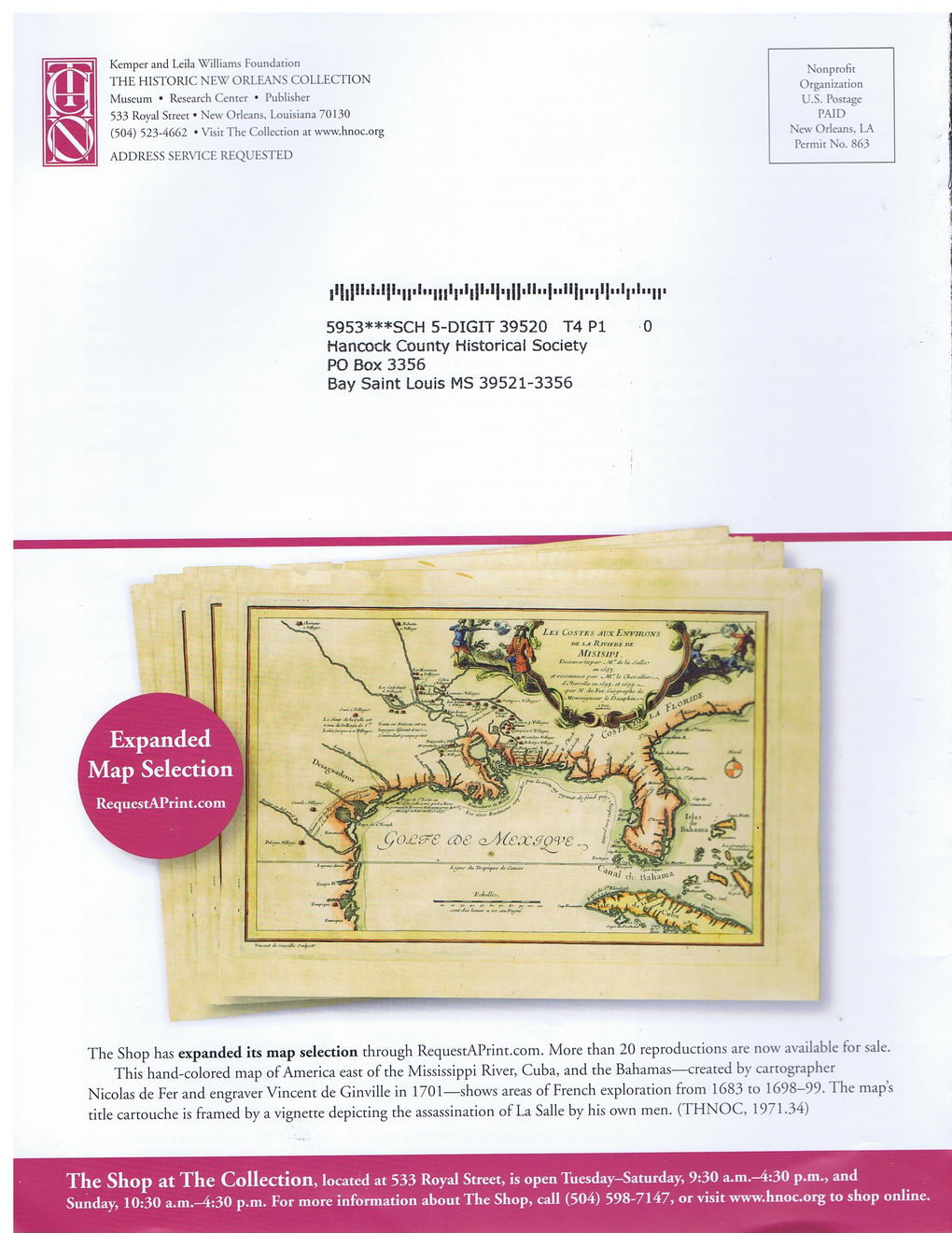
The Shop has expanded its map selection through RequestAPrint.com. More than 20 reproductions are now available for sale.
This hand-colored map of America east of the Mississippi River, Cuba, and the Bahamas—created by cartographer Nicolas de Fer and engraver Vincent de Ginville in 1701—shows areas of French exploration from 1683 to 1698-99. The map’s title cartouche is framed by a vignette depicting the assassination of La Salle by his own men. (THNOC, 1971.34)
The Shop at The Collection, located at 533 Royal Street, is open Tuesday-Saturday, 9:30 a.m.^4:30 p.m., and Sunday, 10:30 a.m.—4:30 p.m. For more information about The Shop, call (504) 598-7147, or visit www.hnoc.org to shop online.

New Orleans Quarterly 2013 Summer (18)