This text was obtained via automated optical character recognition.
It has not been edited and may therefore contain several errors.
National Marine Fisheries Service
Mississippi Laboratories of the Southeast Fisheries Center—a National Oceanic and Atmospheric Administration/National Marine Fisheries Service (NMFS) component —is headquartered at SSC. The Mississippi Laboratories, with people and facilities at SSC, Pascagoula, Miss., and Slidell, La., is responsible for providing information for assessment, management and conservation of living marine resources in the Gulf of Mexico, Caribbean Sea and south Atlantic Ocean.
Two research vessels, the NOAA ships Oregon II and Chapman, are operated from the Mississippi Laboratories.
Engineers, computer specialists and remote sensing investigators develop and apply satellite and other forms of advanced technology to problems identified by fishery biologists and the industry. Activities at SSC range from development of instruments for monitoring underwater performance of nets and associated fish behavior to use of satellites to track endangered species and map environmental conditions.
L-Vj -- * «
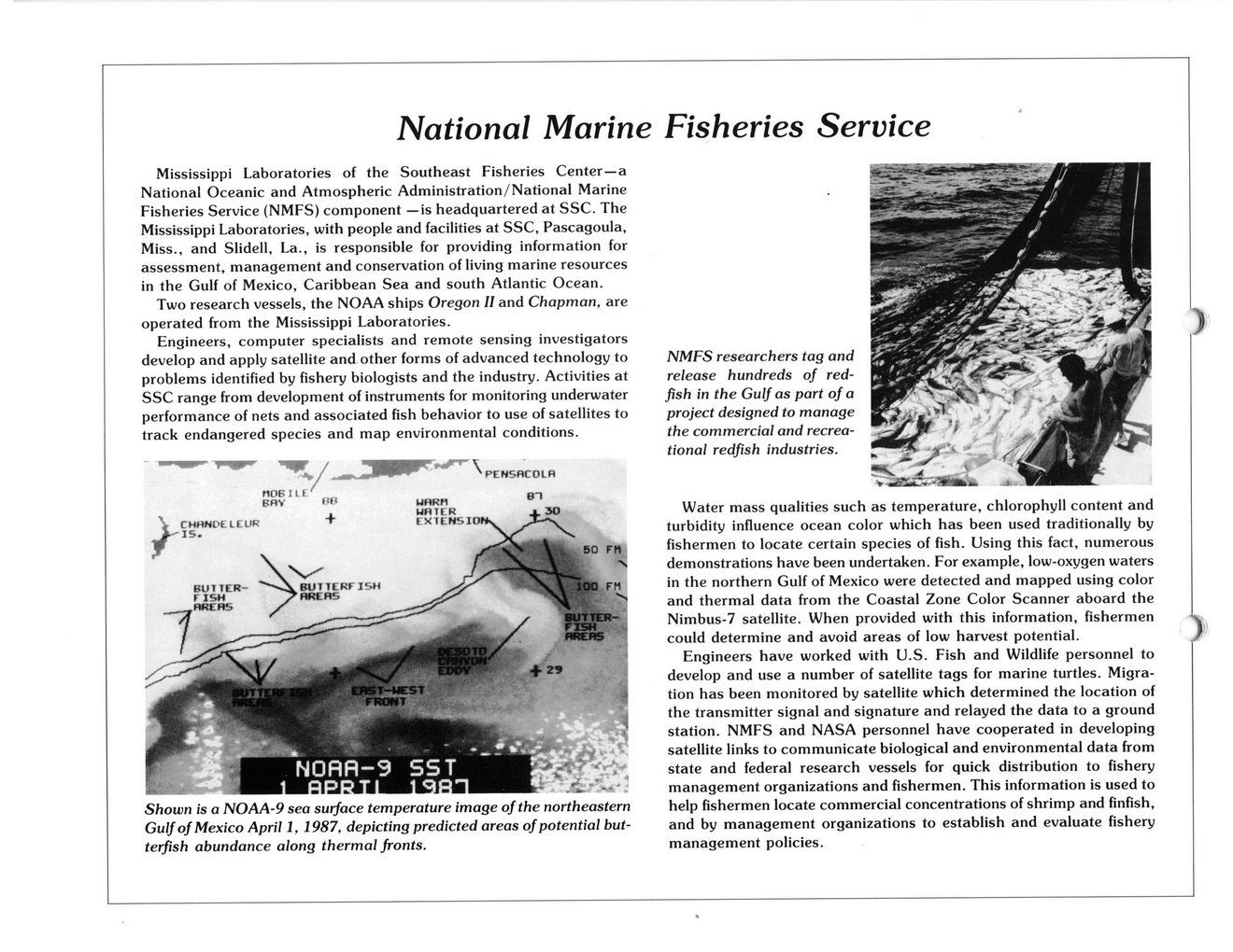
Shown is a NOAA-9 sea surface temperature image of the northeastern Gulf of Mexico April 1, 1987, depicting predicted areas of potential but-terfish abundance along thermal fronts.
NMFS researchers tag and release hundreds of red-fish in the Gulf as part of a project designed to manage the commercial and recreational redfish industries.
Water mass qualities such as temperature, chlorophyll content and turbidity influence ocean color which has been used traditionally by fishermen to locate certain species of fish. Using this fact, numerous demonstrations have been undertaken. For example, low-oxygen waters in the northern Gulf of Mexico were detected and mapped using color and thermal data from the Coastal Zone Color Scanner aboard the Nimbus-7 satellite. When provided with this information, fishermen could determine and avoid areas of low harvest potential.
Engineers have worked with U.S. Fish and Wildlife personnel to develop and use a number of satellite tags for marine turtles. Migration has been monitored by satellite which determined the location of the transmitter signal and signature and relayed the data to a ground station. NMFS and NASA personnel have cooperated in developing satellite links to communicate biological and environmental data from state and federal research vessels for quick distribution to fishery management organizations and fishermen. This information is used to help fishermen locate commercial concentrations of shrimp and finfish, and by management organizations to establish and evaluate fishery management policies.

NASA Document (052)