This text was obtained via automated optical character recognition.
It has not been edited and may therefore contain several errors.
National Mapping Division Applications Assistance Facility
The U.S. Geological Survey has also located the National Mapping Division Applications Assistance Facility at SSC. Personnel provide technical assistance in the use of remote sensing data to address environmental problems. Workshops and symposia are held regularly in the fields of agriculture, forestry, wetlands, hydrology and digital cartography. Participants in the programs also get assistance in the operation of specialized equipment such as additive color viewers, stereo viewers, zoom transfer scopes, computerized multispectral systems to classify specific phenomena and in the use of microcomputer systems to manipulate digital cartographic data.
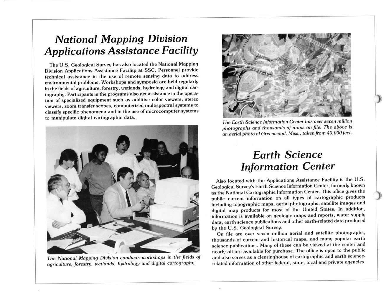
The National Mapping Division conducts workshops in the fields of agriculture, forestry, wetlands, hydrology and digital cartography.
The Earth Science Information Center has over seven million photographs and thousands of maps on file. The above is an aerial photo of Greenwood. Miss., taken from 40,000feet.
Earth Science Information Center
Also located with the Applications Assistance Facility is the U.S. Geological Survey’s Earth Science Information Center, formerly known as the National Cartographic Information Center. This office gives the public current information on all types of cartographic products including topographic maps, aerial photographs, satellite images and digital map products for most of the United States. In addition, information is available on geologic maps and reports, water supply data, earth science publications and other earth-related data produced by the U.S. Geological Survey.
On file are over seven million aerial and satellite photographs, thousands of current and historical maps, and many popular earth science publications. Many of these can be viewed at the center and nearly all are available for purchase. The office is open to the public and also serves as a clearinghouse of cartographic and earth science-related information of other federal, state, local and private agencies.

NASA Document (054)