
This text was obtained via automated optical character recognition.
It has not been edited and may therefore contain several errors.
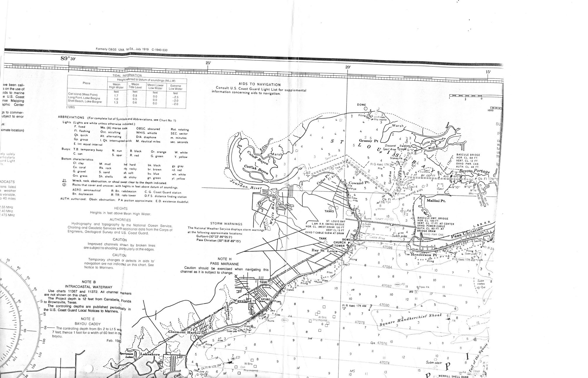
Formerly C&GS 1268, 1st Ed-- Ju|y 19'9 C-1940-530
89?3(y
ive been cali-3 on the use of lids to marine e U.S. Coast nse Mapping aphic Center
js to commer-ubject to error
js:
ximate location)
ely solely irticularly jard Light Is
\DCASTS ions listed 3 weather s variable. D 40 miles
?.55 MHz '.40 MHz ' 475 MHz
X
V
Place	Height referred to datum of soundings (MLLW)
	Mean High Water	Mean Tide Level	Mean Lower Low Water	Extreme Low Water
	feet	feet	feet	feet
Cat Island (West Point)	1.7	0.8	0.0	-2.5
Long Point Lake Borgne	1.0	0.5	0.0	-2.0
Shell Beach, Lake Borgne	1.3	0.6	0.0	-2.0
Of orange G. green
bk. black br brown bu blue gn. green
V
s-s
)
(1280)
ABBREVIATIONS (For complete list of SymboU*nd Abbreviations, see Chart No 1)
Lights (Lights are white unless otherwise indicated.):
F.	fixed	Mo. (A) morse code	OBSC. obscured
FI. flashing	Occ. occulting	WHIS. whistle
Qk. quick	Alt alternating j	DIA. diaphone
Gp group	I. Qk interrupted quick	M. n'autical miles
E Int equal interval	^
Buoys: T.B temporary buoy	N. nun	B. black
C can	S. spar	R. red
Bottom characteristics:
Cl. clay	M mud	hrd	hard
Co. coral	Rk. rock	rky	rocky
G.	gravel	S. sand	sft	soft
Grs grass	Sh. shells	stk.	sticky
.21.	Wreck, rock, obstruction, or shoal swept clear to the depth indicated
(2)	Rocks that cover and uncover, with hefhts in feet above datum of soundings
AERO, aeronautical	R. Bn. radiobeacon	C. G Coast Guard station
Bn daybeacon	R. TR. radio tower	D.F.S distance finding station
AUTH authorized: Obstr obstruction; PA position approximate: CO. existence doubtful
HEIGHTS
Heights in feet above Mean High Water.
AUTHORITIES
Hydrography and topography by the National Ocean Service,
Charting and Geodetic Services with additional data from the Corps of Engineers, Geological Survey and U.S. Coast Guard.
CAUTION
Improved channels shown by broken lines are subject to shoaling, particularly at the edges.
CAUTION
Temporary changes or defects in aids to navigation are not indicated on this chart. See Notice to Mariners.
NOTE B INTRACOASTAL WATERWAY Use charts 11367 and 11372. All channel markers are not shown on this chart The Project depth is 12 feet from Carrabelle, Florida 'o to Brownsville, Texas.
The controlling depths are published periodically in f the U.S. Coast Guard Local Notices to Mariners. z._?
|	NOTE	E	;
BAYOU CADDY	\
S?o-------The controlling depth trom Bn 2 to Lt 5
7 feet; thence 1 foot for a width of 60 feet in r	bayou.
MERRILL SHELL BANK
N. "6
?&*' ?' 1 \ Obstr AfV
Battle of 1814 BSL