This text was obtained via automated optical character recognition.
It has not been edited and may therefore contain several errors.
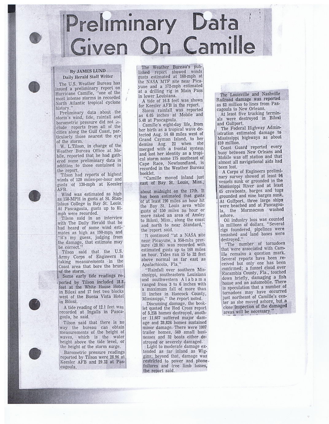
'Preliminary Data Given On Camille
By JAMES LUND	,
Daily Herald Staff Writer	I
The U.S. Weather Bureau has issued a preliminary report on! Hurricane Camille, “one of the! most intense storms in recorded North Atlantic tropical cyclone history.”
Preliminary data about the storm’s wind, tide, rainfall and barometric pressure did not include reports from all of the cities along the Gulf Coast, particularly those nearest the eye of the storm.
W. L.Tilson. in charge of the Weather Bureau Office at Mobile, reported that he had gathered some preliminary data in addition to those contained in the report.
Tilson had reports of highest winds of 120 miles-per-hour and gusts of 130-mph at Keesler AFB.
Wind was estimated as high as 158-MPH in gusts at St. Stanislaus College in Bay St. Louis.' At Pascagoula, gusts up to 81-mph were recorded.
Tilson said in an interview with The Daily Herald that he had heard of some wind estimates as high as 190-mph and “it’s my guess, judging from the damage, that estimate may be correct.”
Tilson said that the U.S. Army Corps of Engineers is taking measurements -in the Coast area that bore the brunt
■	of the storm.
;Some early tide readings re--ported by Tilson included 18.8, feet at the White House Hotel in Biloxi and 17 feet two blocks west of the Buena Vista Hotel in Biloxi.
A tide reading of 12.1 feet was recorded at Ingalls in Pascagoula, he said.
Tilson said that there is no way the bureau can obtain measurements of the height of waves, which is the water height above the tide level, or the height of the storm surge.
Barometric pressure readings 'reported by Tilson were 28.96 at j Keesler AFB and 29.32 at Pas-icagoula.
The Weather Bureau’s published report showed winds gusts estimated at 160-mph at the NASA MTF site near Picayune and a 1-72-mph estimated at a drilling rig in Main Pass in lower Louisiana.
A tide of 16.8 feet was shown for Keesler AFB in the report.
Storm rainfall was reported as 6.05 inches at Mobile and 5.48 at Pascagoula.
Camille’s eight-day life, from her birth as a tropical wave detected Aug. 14 60 miles west of Grand Cayman Island, to her demise Aug. 22 when she merged with a frontal system and lost her identity as a tropical storm some 175 southeast of Cape Race, Newfoundland, is recorded in the Weather Bureau booklet.
“Camille moved inland just east of Bay St. Louis, Miss.,
about midnight on the 17th. It has been estimated that gusts of at least 190 miles an hour hit the Bay St. Louis area while gusts of 150 miles an hour or more raked an area of Ansley to Biloxi, Miss., along the coast and north to near Standard,” the report said.
It continued “at a NASA site near Picayune, a 950-mfcs pressure (28.06) was recorded with estimated gusts up to 160 miles an hour. Tides ran 15 to 32 feet above normal as far east as Apalachicola, Fla.”
“Rainfall over southern Mississippi, southeastern Louisiana | and southwestern Alabama : ranged from 3 to 6 inches with a maximum fall of more than
11	inches in Hancock County, Mississippi,” the report noted."
Discussing damage, the booklet quoted the Red Cross report of 5,238 homes destroyed, another 11,667 suffered major damage and 28,826 homes sustained minor damage. There were 1007 trailer homes, 569 small businesses and 32 boats either destroyed or severely damaged.
Light to moderate damage ex-, tended as far inland as Wiggins; beyond that, damage was restricted to power and phone failures and tree limb losses, the report said.
The Louisville and Nashville Railroad damage was reported as $2 million to lines from Pas-i cagoula to New Orleans.
; At least five trucking termin-'als were destroyed in Biloxi and Gulfport.
The Federal Highway Administration estimated damage to Mississippi highways as about $10 million.
Coast Guard reported every buoy between New Orleans and Mobile was off station and that almost all navigational aids had been lost.
A Corps of Engineers preliminary survey showed at least 94 vessels sunk or grounded in the Mississippi River and at least 65 crewboats, barges and tugs grounded and nine barges sunk.
. At Gulfport, three large ships were beached and at Pascagoula, the Mormacsun washed ashore.
Oil	industry loss was counted in millions of dollars. “Several rigs foundered, pipelines were smashed and land bases were destroyed.”
“The number of tornadoes that were associated with Camille remains a question mark. Several reports have been received but only one has been confirmed; a funnel cloud over Escambia County, Fla., touched down briefly, damaging a fish house and an automobile. There is speculation that a number of tornadoes may have occurred just northeast of Camille’s cen-| ter as she moved ashore, but a close Inspection of the damaged areas will be necessary.”

Hurricane Camille Camille-Aftermath-Media (034)