
This text was obtained via automated optical character recognition.
It has not been edited and may therefore contain several errors.
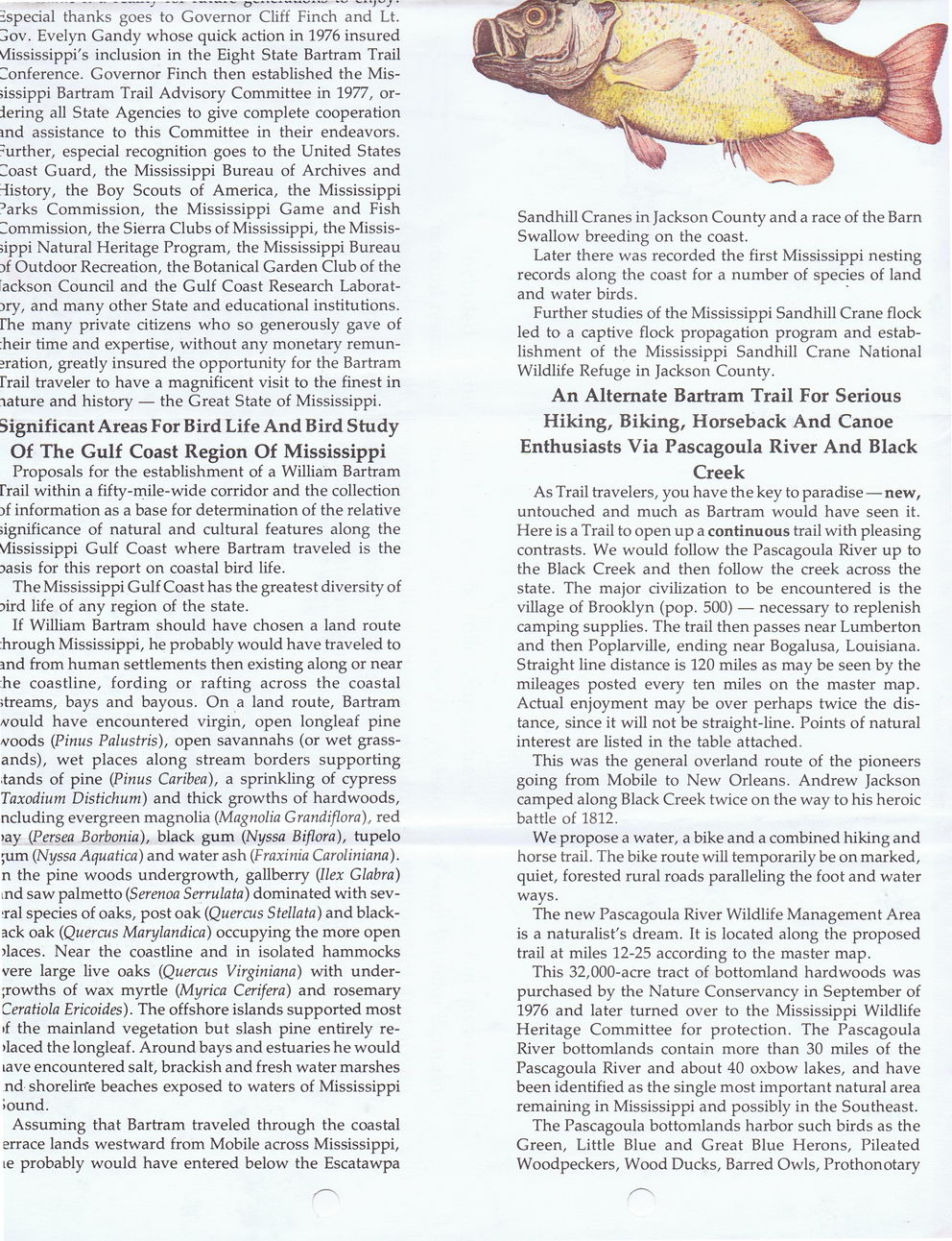
especial thanks goes to Governor Cliff Finch and Lt. jOV. Evelyn Gandy whose quick action in 1976 insured Vlississippi's inclusion in the Eight State Bartram Trail Conference. Governor Finch then established the Mississippi Bartram Trail Advisory Committee in 1977, ordering all State Agencies to give complete cooperation md assistance to this Committee in their endeavors, further, especial recognition goes to the United States Coast Guard, the Mississippi Bureau of Archives and history, the Boy Scouts of America, the Mississippi ?arks Commission, the Mississippi Game and Fish Commission, the Sierra Clubs of Mississippi, the Mississippi Natural Heritage Program, the Mississippi Bureau }f Outdoor Recreation, the Botanical Garden Club of the [ackson Council and the Gulf Coast Research Laborat-)ry, and many other State and educational institutions, rhe many private citizens who so generously gave of :heir time and expertise, without any monetary remuneration, greatly insured the opportunity for the Bartram rrail traveler to have a magnificent visit to the finest in lature and history ? the Great State of Mississippi.
Significant Areas For Bird Life And Bird Study Of The Gulf Coast Region Of Mississippi
Proposals for the establishment of a William Bartram rrail within a fifty-mile-wide corridor and the collection }f information as a base for determination of the relative significance of natural and cultural features along the Vlississippi Gulf Coast where Bartram traveled is the Dasis for this report on coastal bird life.
The Mississippi Gulf Coast has the greatest diversity of ?ird life of any region of the state.
If William Bartram should have chosen a land route hrough Mississippi, he probably would have traveled to ind from human settlements then existing along or near he coastline, fording or rafting across the coastal streams, bays and bayous. On a land route, Bartram vould have encountered virgin, open longleaf pine voods (Pinus Palustris), open savannahs (or wet grass-ands), wet places along stream borders supporting ?tands of pine (Pinus Caribea), a sprinkling of cypress Taxodium Distichum) and thick growths of hardwoods, ncluding evergreen magnolia (Magnolia Grandiflora), red >ay (Persea Borbonia), black gum (Nyssa Biflora), tupelo ;um (Nyssa Aquatica) and water ash (Fraxinia Caroliniana). n the pine woods undergrowth, gallberry (Ilex Glabra) ind saw palmetto (Serenoa Serrulata) dominated with sev-?ral species of oaks, post oak (Quercus Stellata) and black-ack oak (Quercus Marylandica) occupying the more open >laces. Near the coastline and in isolated hammocks vere large live oaks (Quercus Virginiana) with under-;rowths of wax myrtle (Myrica Cerifera) and rosemary Ceratiola Ericoides). The offshore islands supported most >f the mainland vegetation but slash pine entirely re->laced the longleaf. Around bays and estuaries he would lave encountered salt, brackish and fresh water marshes nd shoreline beaches exposed to waters of Mississippi iound.
Assuming that Bartram traveled through the coastal errace lands westward from Mobile across Mississippi, le probably would have entered below the Escatawpa
Sandhill Cranes in Jackson County and a race of the Barn Swallow breeding on the coast.
Later there was recorded the first Mississippi nesting records along the coast for a number of species of land and water birds.
Further studies of the Mississippi Sandhill Crane flock led to a captive flock propagation program and establishment of the Mississippi Sandhill Crane National Wildlife Refuge in Jackson County.
An Alternate Bartram Trail For Serious Hiking, Biking, Horseback And Canoe Enthusiasts Via Pascagoula River And Black Creek
As Trail travelers, you have the key to paradise ? new, untouched and much as Bartram would have seen it. Here is a Trail to open up a continuous trail with pleasing contrasts. We would follow the Pascagoula River up to the Black Creek and then follow the creek across the state. The major civilization to be encountered is the village of Brooklyn (pop. 500) ? necessary to replenish camping supplies. The trail then passes near Lumberton and then Poplarville, ending near Bogalusa, Louisiana. Straight line distance is 120 miles as may be seen by the mileages posted every ten miles on the master map. Actual enjoyment may be over perhaps twice the distance, since it will not be straight-line. Points of natural interest are listed in the table attached.
This was the general overland route of the pioneers going from Mobile to New Orleans. Andrew Jackson camped along Black Creek twice on the way to his heroic battle of 1812.
We propose a water, a bike and a combined hiking and horse trail. The bike route will temporarily be on marked, quiet, forested rural roads paralleling the foot and water ways.
The new Pascagoula River Wildlife Management Area is a naturalist's dream. It is located along the proposed trail at miles 12-25 according to the master map.
This 32,000-acre tract of bottomland hardwoods was purchased by the Nature Conservancy in September of 1976 and later turned over to the Mississippi Wildlife Heritage Committee for protection. The Pascagoula River bottomlands contain more than 30 miles of the Pascagoula River and about 40 oxbow lakes, and have been identified as the single most important natural area remaining in Mississippi and possibly in the Southeast.
The Pascagoula bottomlands harbor such birds as the Green, Little Blue and Great Blue Herons, Pileated Woodpeckers, Wood Ducks, Barred Owls, Prothonotary
Bartram The-National-Bartram-Historical-Trail-of-Mississippi-Pg.10