
This text was obtained via automated optical character recognition.
It has not been edited and may therefore contain several errors.
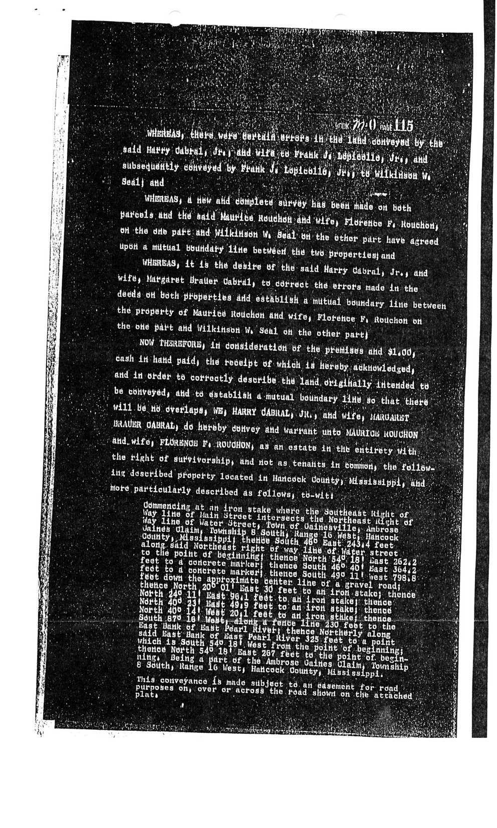
! v'.
;si ' *'!
r.^
to
: ,sa?id	?' ddij^lt^ ^^':Vv-:^r??.:^
? aUbae^utfttUy dMi^ti ?ty^i'di; fivtb^cb^	Vr-^'i V:
Seal) atld ? ?;.?	':.	????.	.'..>-*V "4
*.??'??? '?	'..	i	. * ?? v ?. 1 ; i ,' ?	*	?J ?V, V i '-i *?	:	?	*	*"	'?	?	1
WtfEREAS,atibW atidi bbMpietif	llW	Me	oil	bdth ' ? ? V
parcels;and t(ib	RaMhbtt^tid	;Wi:fe* tdbretibe ii RouelM*'	.
OH the brtb pafctatid jfiikiHdbn WtSeaibrithe bther part have agreed Upoh a mutual bbUHdary line bettfbeii the tub properties)and
WHER&AS| it iij thd deisire of thb said Harry dabralj Jr*| and toife> Margaret iiraUer tiabralj toddfrect the errors made iti the dedds 6H bdth prbjiertiesi Arid establish d mutual boundary litte betweeh the prdperty of Mauribb ttouchon and wife> Florence K* iiouchon on the Orid pAfc*t ahd WilkihSbrt W? seal oh the other part}
NOW tHSREFORE) irt boriSideratidn bf the preMiaes ahd $1*00, caah ih hand paid) titei redeifrt bf vhibh id hereby,;adknowledsedj . and irt orddr tft CoN*odtiy describe, tlib latii dtigihilly' ititetlded ,ttt V-	; Vs>
be cbhveyedi attd td establish a inutual boundary iirie Sothattlidrb '	; .h'
y wiil be.Hb dyeriapa? we* Marry dAsitALi ? Ju?, and widre?	:?
MAttlSR OABRAt) dd Ketbby UOHvey UHd Warrant unto MAURldiS uwclios}'^^?'-?'-? ahd..wife| FLdRBNOB Fi llOlJdHONj as art estate lit thb entirety With,*..;1, the right of survivorship) and riot as, tenaiits in bommdti) the follbw-	,
in* described property Ideated irt Hancock doUrityj MiasiS3ippi|ahd^^,;;	.
htorc particularly described aa follows*. tb-witi	?>??	::?
? r': ? ? '' ':
ddmmencirtg at nn iron stake where the Soittiiea&t uight of ?
Way litte of Main Street intersects the Northeast i(i"ht of Way line of V/ater street> toWri.of.daiHesvillej Ambrose	',CJ
Oainds dlaiht? Township 8.SOUthi Range 16 West*. Hancock OdUHty?-.Mississippi! thehbfe South, 46ti t!a8t'.24Si4 feet '	:
along, said Northeast right of vray lihb df water, street 1	,
; to the point df bbgihnihgj thetice'Nbrth 54?. IS J ?ast 262*2 feet to a concrete	hmrkerj thehpe South	460, 40* iSast 364<2	?	>
fedfe to a concrete	marker) thence South	49? 11* west 798*8 * - 1 >
> fBet down the approximate behter. lihe of a gravel road}
thettce .North 20? 01' ISabt 3d feet to art iron.stake) thence ? j.
North 245 U E4St	Sflil fbbt to, ati irori	stake)'thence
Ndrth 40d 23j Eaiat	4di9 fBdt to'an iron	stake) thenoti
North 40? H* Wbftf 2011 febt ..to an^iron,Stake], thenbe^,	, ^r-^*vr
SdUth ;8?tt 18* WeB4t-riliJrt^.tt_feiiee lihe 230 feet to the	?'
.' East liank 6f lia^t Pdari Kivbr) thence Ndrtheriy along said ISast' Hank of JSast Pehrl uiyer 325.feet te a point which is SdUth S4? l8 v West from the pb'iht 'bf .beginningj '	.	'*}
. thence North s4? 18* Bast 267 feet tb the point of. begin-	??
ning* fleing a part bf the Ambrose dairies dlaim* Township 8 SdUthj Range 10 Westj Hahcock County) Mississippi^ . :	y\:.
This conveyance ifc made sUbjedt ,td. an easement for road
purposes on? over or across the road shown on the attached	?
Plat. ?	?	..
*	"*	;	1	'	'	??.	.	7*	,	?	.	*V.	?	*,*?/*!
?' ?	.	...	.	..	?	'	V,	ii?i
Cabral, Emory (Rouchon) Cabral-004